Fast Growing UAV Industry
I was shocked by the scale of the drone industry in Xponential 2024. The San Diego Convention Center was packed with hundreds of exhibitions. A few aspects that I found amazing are
- Highly Specialized Components: outdoor monitor, radar or LiDAR altimeter, hundred mega pixel camera, connectors, single line scanning LiDAR, case, simulation for pilot training
- Various Scale and Type: from mini drones for education, small drones for recreation to large octa-copter span more than 2 meters. From helicopters to quadcopters and fixed wings.
- Wide Range of Applications: mapping, inspection, public safety, agriculture, delivery of package, grocery, medicine and blood, defense

Xpo Hall
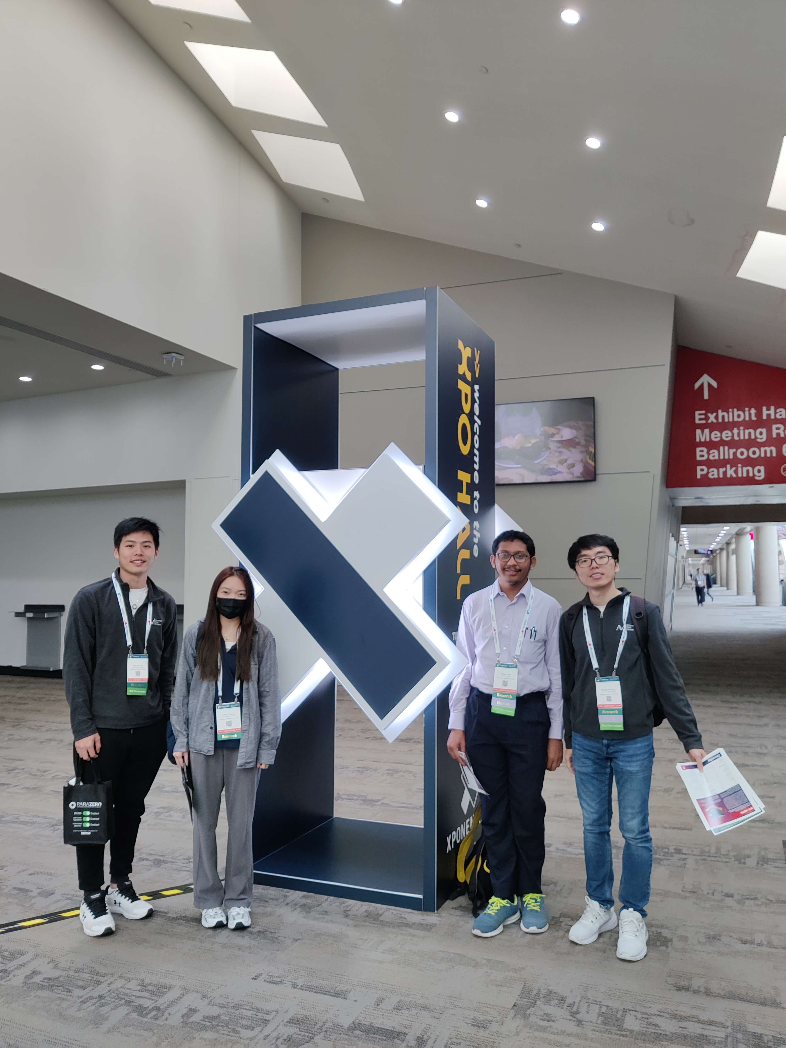
Us

Big Drone
Notable Applications
As an outsider of the drone industry, I found many use cases very interesting
- Public Safety
- Chula Vista PD Drone Program: They use drones as first responder (DFR). The drones arrive scene at 96 seconds on average from call in, >19000 DFR flights. They told us the drones are very helpful in providing information for allocating resource, monitoring evolving situation and directing officers on the ground. They have a great website that has the history, statistics and drone footages.
- Cal Fire: They use drones for quick response, overhead fire line monitoring etc.
- New York Police Department: Various robots.
- XPRIZE Wildfire Challenge: 4 year 11 Million to push the limit for (1) detecting wild fire and (2) autonomous response to put out the fire in 10 mins.
- Delivery
- Delivery of blood
- Delivery of medicine refill as many people tends to forget about this
- Agriculture: from Warren UAS, an educational program
- Meansure Loss from Bears: use drones to measure crops eaten by bears, manage hunting to preserve a right amount of bears but also protect crops.
- Count deer: replace the mannual counting with drones and IR sensors, manage hunting.
- Powerline Inspection with Autonomous Flight
- Tethered Drone:
- A string connects the drone and base station to provide power and/or more reliable data connection.
- local network coverage / security for events
- border control
DJI as a Drone Infrastructure Provider
Many companies use DJI drones as the basis to develop solutions. Therefore they don’t need to worry about stablizing drones, drone manufactor, communication etc. This enables start ups to be laser-focused on the applications. Good reliability at a reasonable cost means a lot to customers. In many cases, customers can afford drones but not really consider them as cheap toys.
Regulatory concerns
- Airspace is tighter than you think. FAA has done a great job in safety management but the industry hope to move faster. For example, many drone start ups only have experimental license.
- Coordination need to consider legacy planes without advanced position communication system.
Interesting Companies
- FMCW LiDAR: SiLC LiDAR
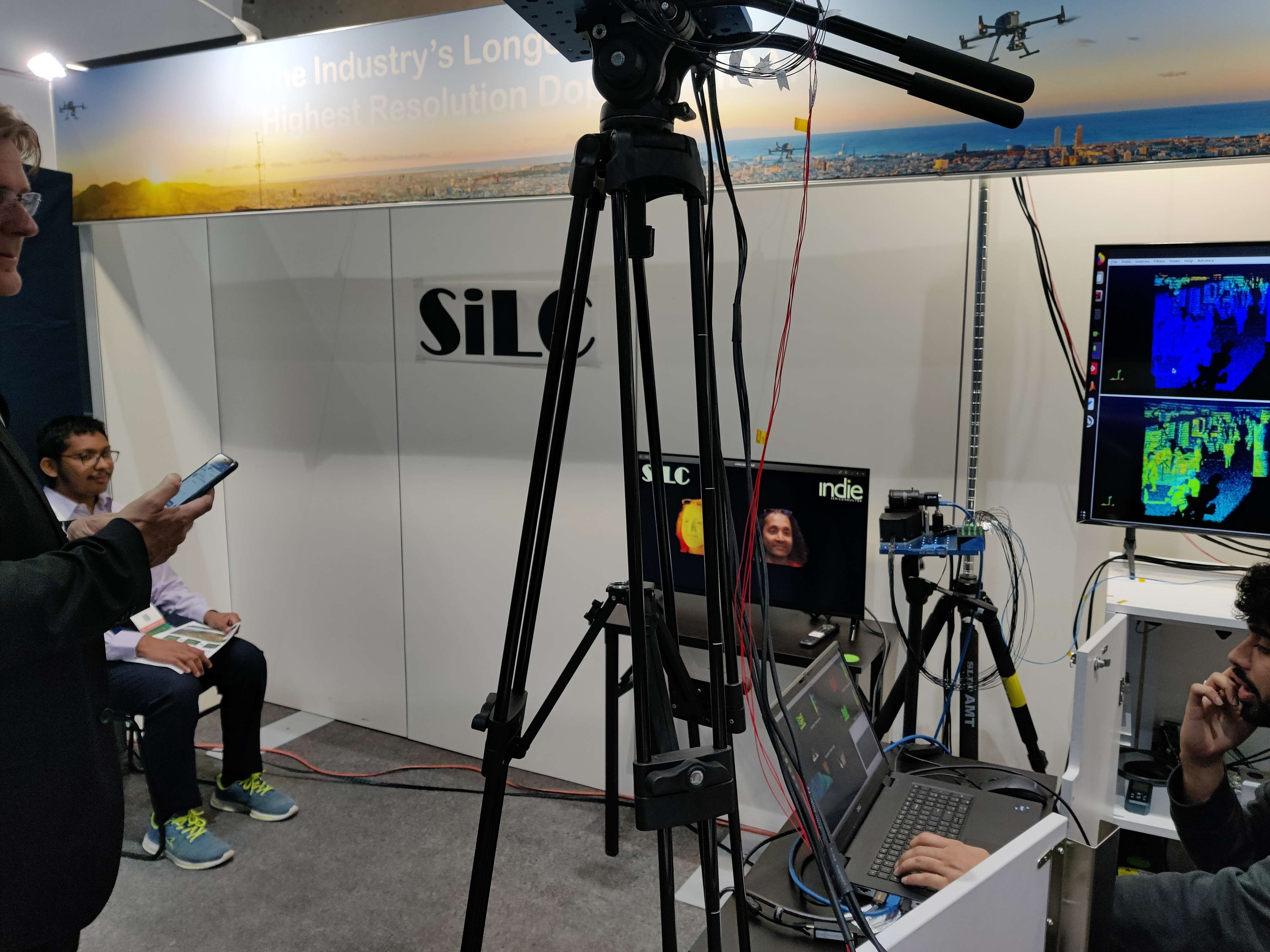
SiLC LiDAR
- Rapid manufacturing: RJC American Inc
- Hundred megapixel camera: Phase One
- GNSS with IMU: Xsens
Reflection
- Xponential for autonomous vehicles? I see public safety people advocate for the effectiveness of UAVs while address the public concerns on privacy. I see the industry try to connect with policy makers and advance the regulations. I see people make connections and find solutions. I wish there is a similar event for autonomous vehicles where industry, academia, policy makers are brought together to exchange ideas.
- DJI for autonomous vehicles? Will there be a few companies become the infrastructure provider for the autonomous ground robots?
- AUVSI for autonomous vehicles? AUVSI really connects the industry and try to make space for the small business. Is there an equivalent for autonomous ground robots?